
Select NOAA-NWS Forecast Office Text Products
(Product availability varies with seasons, forecast office, and weather.)
Forecast Discussion for Phoenix, AZ
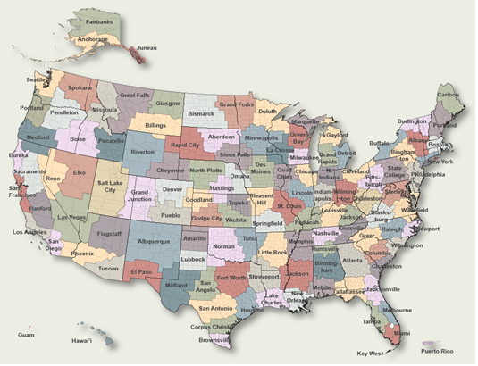
To Select Another NWS Office Click on Map or Choose from List
|
| Select Forecast Office: | Select Product: |
549 FXUS65 KPSR 021111 AFDPSR Area Forecast Discussion National Weather Service Phoenix AZ 411 AM MST Sat May 2 2026 .UPDATE...12Z Aviation Discussion. && .KEY MESSAGES... - Above normal temperatures with lower desert highs in the middle nineties will be common throughout the weekend. - As a low pressure system approaches the region early next week, breezy to locally windy conditions, much cooler temperatures, and increased rain chances across the AZ high terrain can be expected. - As the low pressure system departs the region and high pressure builds in by the latter half of next week, a rapid warming trend to above normal temperatures is likely. && .SHORT TERM /TODAY THROUGH MONDAY/... Early morning water vapor satellite as well as streamline analysis show a ridge of high pressure enveloping the western CONUS while an upper-level low is pivoting off the west coast. Meanwhile to the east, a longwave trough is enveloping most of the eastern half of CONUS with a trailing shortwave enveloping eastern AZ and NM, resulting in a few light showers across far eastern AZ. As heights aloft increase to 576-578dm from the ridge enveloping the western CONUS, afternoon high temperatures both today and Sunday will top out in the middle 90s across most of the lower desert locations. As surface high pressure builds along the Southern Plains, an easterly gradient will setup this morning and to a lesser extent on Sunday morning, producing some gusty winds after sunrise as peak gusts reach 15-25 mph across the lower elevations of south-central AZ and locally higher upwards of 30-35 mph across the higher terrain areas east of Phoenix. The aforementioned upper-level low off the west coast will continue to dig southward and become cutoff off the CA coast later today. As the low slowly migrates eastward on Sunday, gradual height falls will lead to an increase in breezy to locally windy conditions across southwest AZ and southeast CA, where afternoon/evening gusts between 25-35 mph will be common. Locally higher gusts in excess of 40 mph are likely across the typically wind prone areas of southwestern Imperial County. Heading into Monday, the upper low will gradually move inland through CA. With 500 mb height fields falling to between 568-572dm, temperatures will cool rather significantly as afternoon highs will only top out in the lower 80s across the western deserts to middle 80s across the south-central AZ lower deserts. With the height falls and associated jet energy spreading eastward, the afternoon/early evening breeziness will become more widespread to include most of AZ. Additionally, the slow eastward migration of the low will allow some moisture to advect northward into the eastern half of AZ, with model guidance showing PWATs rising to between 0.7-0.8" (~200% of normal). Therefore, the potential will exist for scattered light showers to break out, especially across the higher terrain areas of eastern AZ, late Monday night through the first part of Tuesday, with NBM PoPs solidly into the 20-40% range. && .LONG TERM /TUESDAY THROUGH FRIDAY/... As the the upper low moves through the Desert SW on Tuesday, temperatures will cool even further with afternoon highs only reaching the upper 70s to around 80 degrees across the lower deserts. This will be a solid 10 degrees below normal for early May. Breezy conditions will also remain in place across much of the region. The low will finally exit to our east by mid week with upper-level ridging building along the west coast. There are indications from guidance that a piece of energy left behind from the departing low could develop into a weak cutoff low over the Baja Peninsula heading into the latter half of the week, but as of right now it looks to be too far to the south to have any sensible weather impacts for our region. With 500 mb height fields rapidly rising to around 580dm from the building ridge, temperatures by the latter half of the week will be on a rapid warming trend. The latest NBM is showing afternoon highs across the lower deserts rapidly warming from the middle 80s on Wednesday to middle 90s on Thursday. Even further warming into the triple digits, which would be the first occurrence since the unprecedented early season heatwave from late March, is being shown starting next Friday. && .AVIATION...Updated at 1111Z. South Central Arizona including KPHX, KIWA, KSDL, and KDVT: No major aviation concerns are expected through the TAF period. Easterly winds will prevail through most of the TAF period as the typical afternoon westerly shift is unlikely to occur today. Gusts up to 20-25 kts will be possible late this morning between 14-18Z. Winds will then relax heading into the afternoon and evening hours. FEW high clouds will gradually increase to SCT-BKN later in the period. Southeast California/Southwest Arizona including KIPL and KBLH: No major aviation concerns are expected through the TAF period. NW/NNW winds will transition to E/NE by late this morning. Afterwards, KIPL will become more westerly by late this evening, while KBLH will go from SSE in the afternoon to SSW close to midnight tonight. Wind speeds at both terminals should generally remain aob 10 kts. FEW high clouds will gradually increase to SCT- BKN later in the period. && .FIRE WEATHER... Dry conditions and above normal temperatures will be observed through the weekend. A low pressure system will gradually approach the CA coast late this weekend, resulting in widespread breezy to locally windy conditions into early next week and temperatures cooling into a below normal category Monday-Tuesday. Gusty afternoon winds combined with low humidities will likely produce elevated fire weather conditions Sunday for portions of the western districts, including the Lower Colorado River Valley. As the low pressure system moves through the Desert Southwest early next week, the chance of showers will increase late Monday into the first part of Tuesday across the far eastern districts, however, the probability of wetting rains will remain on the low side. Afternoon MinRHs between 8-15% will be common today, increasing slightly into a 10-20% range Sunday and 15-30% range early next week. && .PSR WATCHES/WARNINGS/ADVISORIES... AZ...None. CA...None. && $$ SHORT TERM...Lojero LONG TERM...Lojero AVIATION...Ryan FIRE WEATHER...Lojero/Whittock |
Previous Forecast Discussions may be found at
NWS Phoenix, AZ (PSR) Office Forecast Discussions.
(Click 'Previous Version' there to view past versions successively.
Some may differ only in time posted.)
Products Courtesy of NOAA-NWS
NWS Information Parsing Script by Ken True at Saratoga Weather - WFO and Products Scripts by SE Lincoln Weather.
Mapping by Curly at Michiana Weather and by Tom at My Mishawaka Weather.